"Malinche is the bridge. If you summit feeling strong, you're ready for Izta. If you struggle, you're not ready for Pico yet."
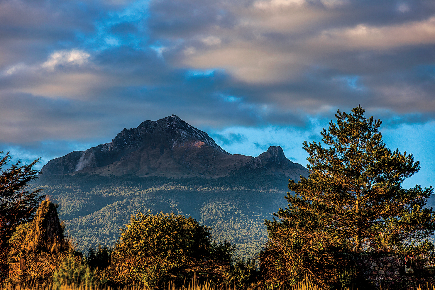
La Malinche is a long hike, not a climb. No glacier. No ropes. No crampons. What it is: 14km round trip with about 1,160m of elevation gain, topping out above 4,400m. The trail starts in pine forest at Centro Vacacional (3,300m) and steepens steadily until you break treeline into alpine terrain.
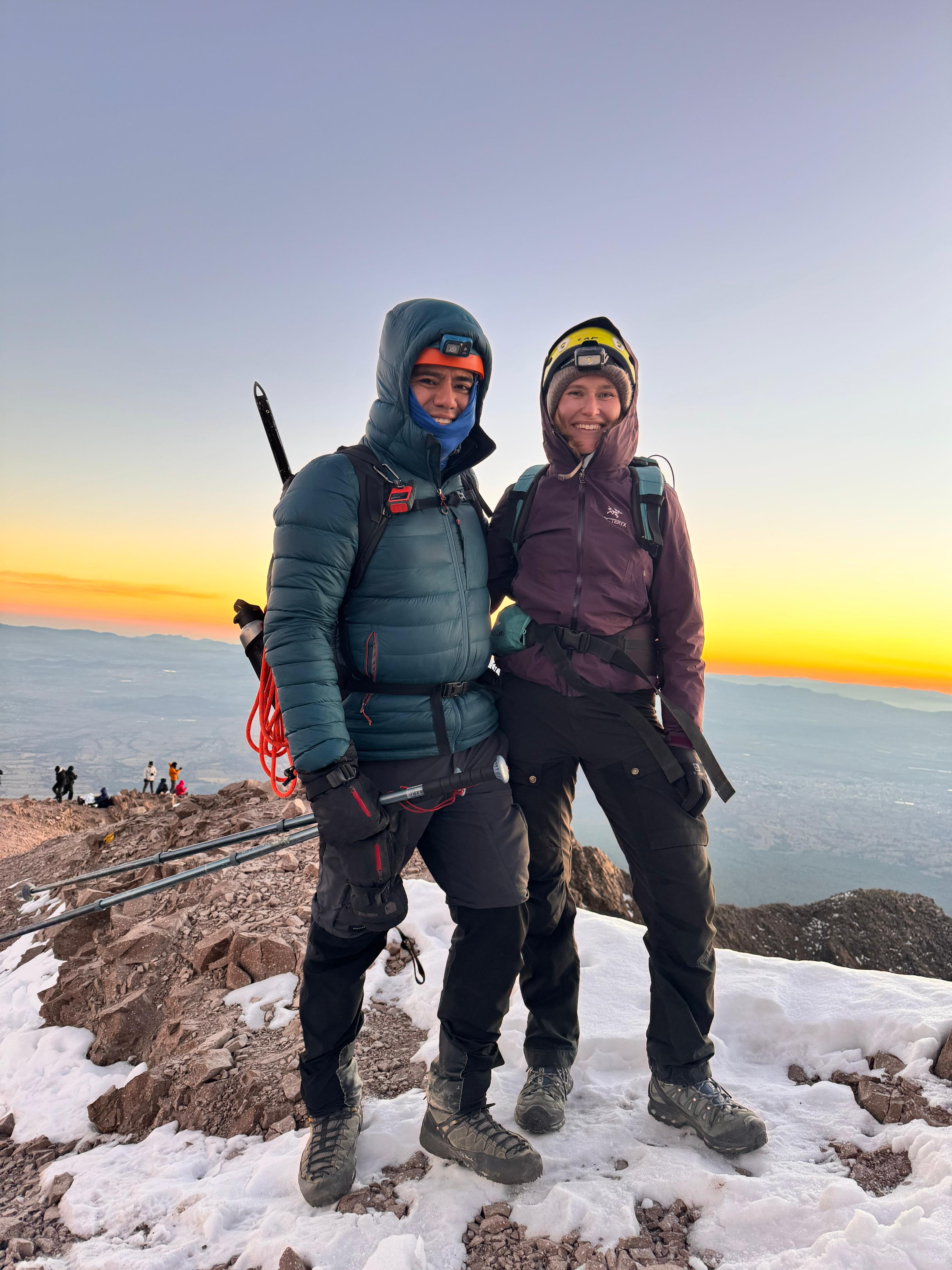
Most clients come to Malinche for one reason: acclimatization. It's the standard preparation mountain before Iztaccíhuatl or Pico de Orizaba. Spend 1–2 days in CDMX, climb Malinche, rest a day, then head to your bigger objective. That's the proven sequence.
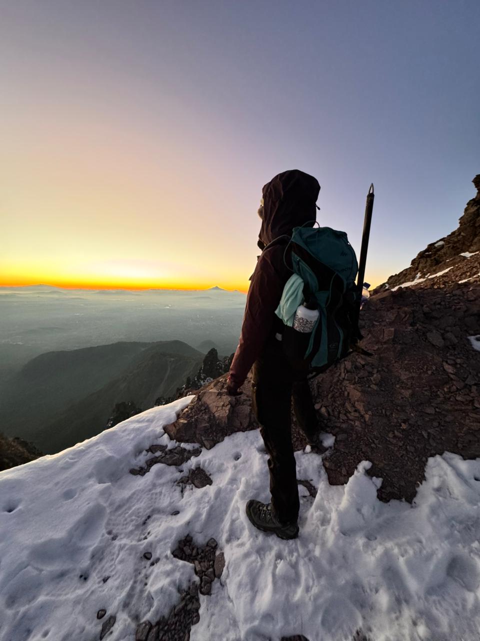
It also works as a standalone day if you're visiting Mexico City and want a real mountain without committing to a multi-day expedition. Doable as a long single day from CDMX. You'll feel the altitude in the final 500m to the summit — that's the test. If your fitness is solid and you've spent time in the city, most climbers summit. If you're coming straight from sea level the same week, expect to feel it.