
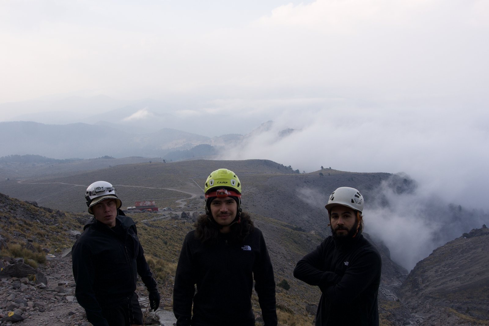
What Time Do Climbs Start on Mexico's Volcanoes? Rain Is Fine, Lightning Isn't
"Why do we have to leave at 4 in the morning?" We hear it every week, usually right after someone sees the pickup time on their itinerary.
The short answer is lightning. The longer answer is how we read the forecast, and it's worth knowing, because once you see what we're looking at, the early alarm stops feeling like a rule and starts feeling like the obvious thing to do.
The short version. On Mexico's volcanoes in the rainy season, mornings are usually calm and storms build in the afternoon. Rain we can climb in. Lightning we can't. So for every trip we look at how much thunderstorm fuel is in the air hour by hour, in two different forecast models, find the hour the risk starts, and work backwards from our own GPS times so you're on the summit about an hour before it and already heading down when it builds. That's why Izta and Pico summit days start around midnight to 2 am, and why a rainy-season La Malinche day can pick you up at 4.
01 · The pattern
Why the mornings are calm
Overnight the mountain cools and the air sits still. Then the sun comes up and starts heating the slopes. Warm air near the ground gets lighter than the air around it and starts to rise, and the mountain itself pushes more air up its flanks. By late morning you can watch it happen. Small puffy clouds pop up over the ridges, and they keep growing.
In central Mexico this isn't a hunch. A study using radar and lightning data around Mexico City in the rainy months found the number of storms peaks around 6 pm local time, the classic afternoon pattern over land.1 The US National Park Service gives hikers the same picture for summer mountains in general. Storms usually develop in the early afternoon, so leave early in the morning.2
02 · What actually matters
Rain is fine. Lightning isn't.
A lot of people check the forecast, see "rain" and assume the climb is off. That's not how we read it.
Cloud, drizzle, rain
We climb. It's water. A good shell, gloves and a dry layer in the pack handle it. Uncomfortable, not dangerous.
Lightning
We're already down. On a bare volcano you're the tallest thing around, with nowhere to hide.
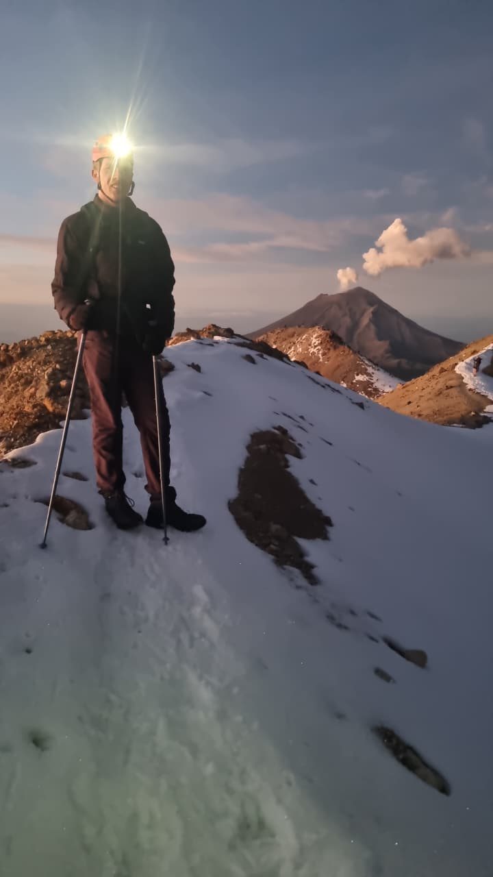
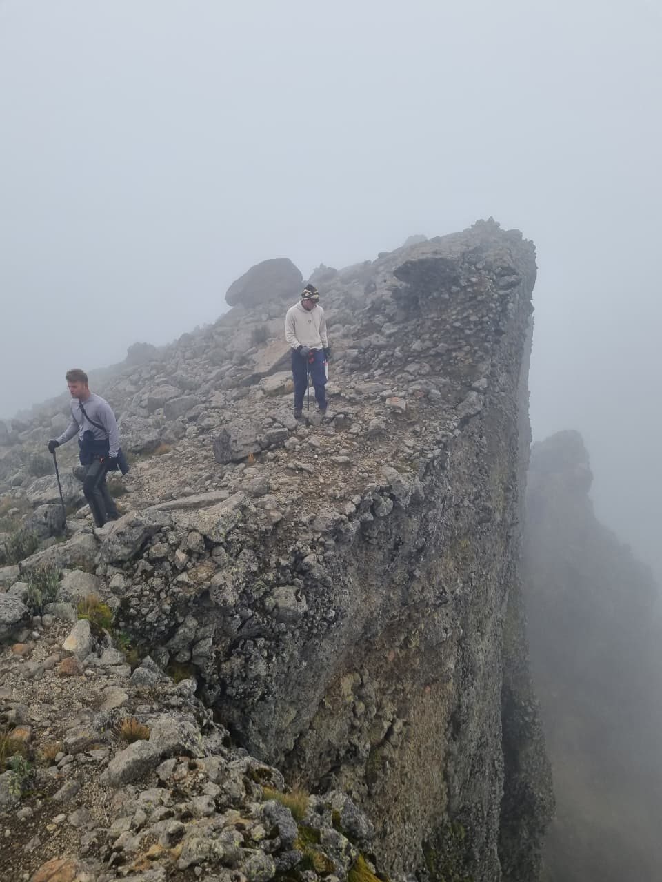
Above the trees, a volcano is open slope, rock and ridge. NOAA's storm lab notes that mountains make good targets for lightning,3 and the Park Service's advice is blunt. You don't want to be the tallest object, and you want to avoid ridge tops and rocky outcrops,2 which is a fair description of every summit we climb. So the question we ask about the forecast isn't "will it rain?" It's "when does the air get enough energy to make lightning?"
03 · The number we watch
CAPE, the fuel for a thunderstorm
That energy has a name in every forecast model, CAPE, short for convective available potential energy. Think of it as the fuel in the air for a thunderstorm.
What it is
Picture a bubble of warm, damp air near the ground. If it's lighter than the air around it, it rises, the way a cork pops up when you let it go underwater. As it climbs it cools, but if it stays warmer and lighter than its surroundings, it keeps getting pushed up. CAPE adds up all that push over the whole climb, in joules per kilogram of air. The Weather Service defines it as a measure of the energy available for convection, directly tied to how fast the air in an updraft can rise.4 More CAPE, faster updrafts.
Why fast updrafts make lightning
A storm cloud charges itself like a machine, and the updraft is the motor. Strong rising air carries water high into the cold part of the cloud, where it freezes. There, small soft hail pellets called graupel collide with tiny ice crystals and bounce off. In each bump the graupel takes one electric charge and the ice crystal the other. The light crystals get carried higher by the updraft, the heavier graupel stays lower, and the cloud ends up with big pools of opposite charge stacked on top of each other.3 When the charge builds past what the air can hold apart, it lets go. That's lightning. No strong updraft, no sorting of charge, no lightning. Plenty of rain falls from clouds that never get there.
How it's measured
Twice a day, at the same hours, weather services around the world launch balloons carrying small instruments called radiosondes. On the way up they send back pressure, temperature, humidity and position every second, from over 800 stations, and that data feeds the computer forecast models.5 The models then forecast how warm and how damp the air will be at every level, at every point on their grid, hour by hour, and calculate CAPE from that. So the number we read is a forecast, not a measurement taken on the mountain that morning.
How far we trust it
Honestly, it's a strong signal, not a promise, for three reasons.
- It's fuel, not a spark. The energy has to be released by something pushing the air up, like the sun heating the slopes or wind forced up the mountain.6 High CAPE on a day with no trigger can pass without a storm, and a strong trigger can set one off with less.
- The models are coarse. The European model we read works in grid cells about 25 km wide, the American one about 13 km.78 A summit is a point inside one of those cells, so the model sees an average of the whole area, valley and all.
- The timing moves. In our experience the hour a model gives can slide by a couple of hours between runs, and two models often disagree. In this week's example they were four hours apart.
Our line, about 300 J/kg
There's no official number where lightning starts. The Weather Service says it plainly, there are no threshold values above which severe weather becomes imminent.4 One of its forecast offices calls anything from 0 to 1,000 J/kg "marginally unstable".6 We set our own working line low inside that band, at about 300, on purpose. It's our rule of thumb for choosing a start time, not a scientific threshold. Set it low and the worst case is that we start early for a storm that never comes. Set it high and the worst case is being on a summit ridge when it does.
04 · How we read it
Two models, one mountain forecast, and the sky
For every trip we pull the hourly forecast from two global models side by side, the European one (ECMWF) and the American one (GFS), through Open-Meteo.78 We look at rain and at CAPE. Then we check mountain-forecast.com at summit height,9 which gives a plain-language read of each morning, afternoon and night.
- When they agree, the window is solid and we plan to it.
- When they disagree, we plan for the earlier one. Starting an hour early costs you sleep. Starting an hour late can cost you the summit, or worse.
- We re-check two days before the trip and again the night before, and if the time moves, we tell you.
And on the day, the guide's eyes win over any number. If clouds are towering over the ridge at 9 am, nobody waits for a model to agree.
05 · Working backwards
From the risk hour to your alarm
Once we know when the risk starts, we aim to be on the summit about an hour before it, so you're already going down as it builds. Then we count backwards using how long the climb really takes. Those times come from our own records. Our guides carry a Garmin inReach, and we have the tracks of our climbs since 2024.10
| Mountain | Up to the summit | So we start |
|---|---|---|
| La Malinche about 2 h drive from Mexico City | About 4 to 6 h with clients. Our one-day trips average about 4.3 h | Rainy season, pickup around 4 am, walking by about 6 |
| Iztaccíhuatl from La Joya camp | 7.6 h, the median over 10 of our summits | Around midnight to 2 am |
| Pico de Orizaba from the Piedra Grande hut | About 7 to 8 h | Around midnight to 2 am |
The midnight starts on Izta and Pico aren't tradition for its own sake. Seven or eight hours of climbing has to fit before the morning runs out.
06 · This week
A real example, La Malinche on 7 October
Here's what we read on Sunday, 5 October, for two climbers going up La Malinche on Wednesday the 7th.
Thunderstorm fuel through the day
CAPE in J/kg, La Malinche, Wed 7 Oct, as forecast on Sun 5 Oct
Hourly values from Open-Meteo for the La Malinche summit area.78 Scale tops out at 800.
The European model had light drizzle through the morning, getting steadier from 10, and the fuel crossing our line at noon on its way to 770 by mid-afternoon. The American model was drier and slower, staying under the line until 4 pm. Mountain-forecast.com, at summit height, had rain showers in the morning and a risk of thunderstorms in the afternoon.
They don't agree, so we go with the earlier one. Risk from noon means summit by about 11 at the latest. With our average of about 4.3 hours up, that means walking by 6, and with the two-hour drive, a 4 am pickup.
Summit around 10:15, going down before noon, with the drizzle as company the whole morning. That's a good day on the mountain.
07 · What this means for you
The early alarm is the price of a safe summit
- Expect an early pickup in the rainy season. The time on your itinerary comes from the forecast for your day, not from habit, and it may be earlier than the one on the trip page.
- Your guide may set a turnaround time. If we're not on top by then, we turn around wherever we are. It's not a judgment on you. It's the forecast deciding.
- We re-run the forecast the night before, and if the time moves, we'll tell you.
- Nobody can promise a summit. What we can promise is that the plan is built around coming home.
If you're planning Izta and wondering how many days to give it, we wrote about that in How Many Days Do You Need in Mexico City to Climb Iztaccíhuatl?
08 · Next step
Send us your mountain and dates
Tell us which mountain and which days, and we'll tell you what the season looks like and what time your day would likely start.
Trip details: La Malinche · Iztaccíhuatl, 2-day summit · Pico de Orizaba
Sources
Where this comes from
- Novo S, Raga GB. The properties of convective storms in central Mexico: A radar and lightning approach. Atmósfera 26(4), 2013.
- US National Park Service. When Thunder Roars, Go Indoors.
- NOAA National Severe Storms Laboratory. Severe Weather 101: Lightning Basics.
- NOAA National Weather Service. Glossary: CAPE.
- NOAA National Weather Service. Radiosonde Observation.
- NOAA National Weather Service, Louisville office. Environmental Parameters and Indices.
- Open-Meteo. ECMWF API documentation (we read the 0.25° open-data model, about 25 km).
- Open-Meteo. GFS API documentation (global model at about 13 km).
- Mountain-forecast.com. Malinche weather forecast at 4,462 m, read on 5 October 2026.
- Yacana Outdoors, GPS tracks from our guides' Garmin inReach devices, 2024 to 2026.
Forecasts change. The example above is what the models showed on 5 October 2026, and the plan for any trip is set from the forecast for that day.

Prefer to Fill Out a Form?
We'll get back to you within 24 hours